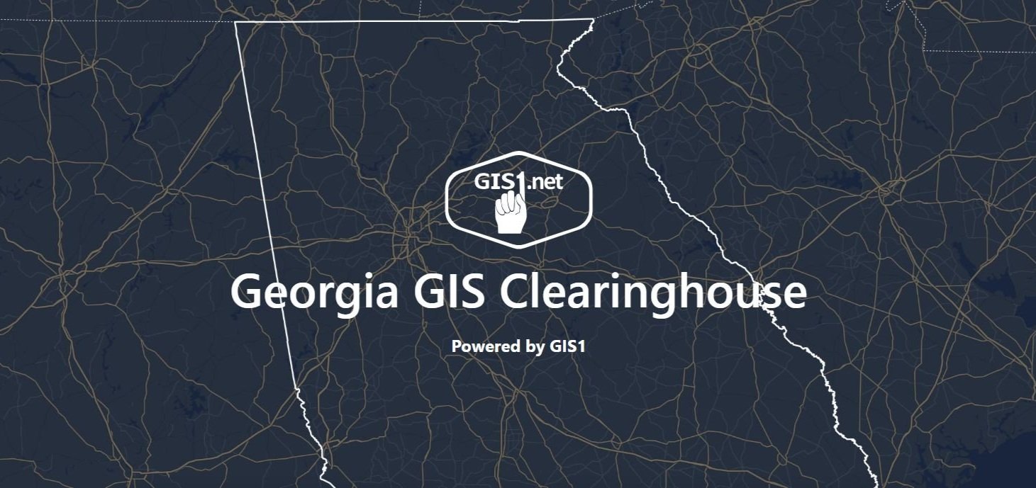
Georgia GIS Clearinghouse
GIS1 launched a new GIS Data Clearinghouse that hosts data exclusive to the State of Georgia. GIS1 currently maintains parcel data for more than 20% of Georgia counties and now, parcel data from all of those counties is available via the GIS1 clearinghouse. We also have high accuracy, lidar-derived, contour lines, CAMA data, recent high resolution aerial photography, address points and road centerlines for much of the state of Georgia.
If you have interest in adding your data to the Georgia GIS Data Clearinghouse, have questions about the new clearinghouse, or are a government employee who would like to request a 100% discount code for government use, please send an email to Chad Rupert, or use our contact form.
To learn more, or purchase data